

Bol weather
While there is no magic formula for preparing a strategy for an event such as the Bol d’Or, two
specialists recommend a methodical approach, in order to best apprehend the various situations that
may arise before and during the race.
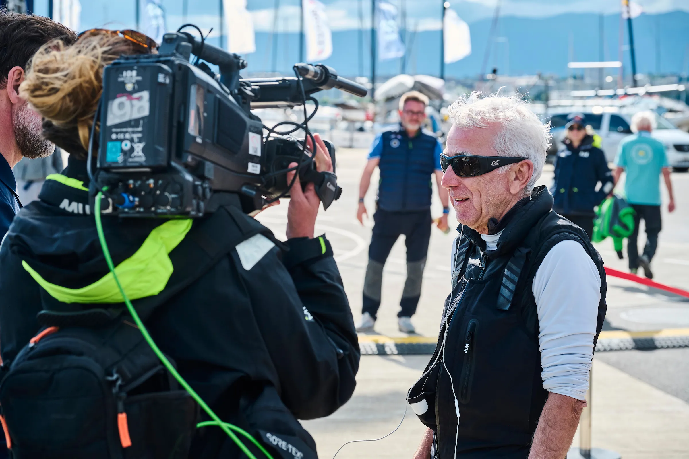
AMONG HIS MANY SKILLS, A SOLID BACKGROUND AS A WEATHER ANALYST
WHICH HAS ALLOWED HIM TO BECOME RECORDMAN OF SCRATCH WINNERS ©Mateo Giraud
The first Bol d’Or weather briefing is traditionally given on the Thursday before the race, at the event’s unmissable press conference. MétéoSuisse forecaster Lionel Fontannaz has been in charge of this exercise for over ten years, and his speech is always eagerly awaited. It provides invaluable information on how the regatta is likely to unfold, and for many, it’s the first time they’ve been put through its paces. However, the meteorologist recommends that skippers, strategists and tacticians begin the model analysis exercise as early as a fortnight before the start. Such an approach gives an initial idea of the general situation and awakens the senses before the race.
Back in the race
It’s not a question of drawing up a strategy at this stage,” explains Lionel Fontannaz, “but taking a look at the various weather models two weeks ahead will already give us an idea of the major centers of action, with the most likely position of low and high pressure on a continental scale. The models available today offer this visibility, and it’s quite coherent to start observing what’s happening well upstream.” Of course, he suggests continuing to observe the maps on a daily basis, considering how the situation is evolving each day. “You shouldn’t concentrate your initial analyses on wind direction and strength, but rather ask yourself about the different scenarios and typical situations that can be set up with, for example, a southwesterly or breezy trend.” In this prospecting phase, sailors can already try to relate these most likely situations to their own experience of the lake. “There’s no getting away from this large-scale analysis,” stresses our contact.
D-5, the patterns settle in
From the week before departure, things start to take shape a little more precisely, and trends are confirmed or disconfirmed. Five days before departure, we start to see the predominant situations,” continues Lionel Fontannaz. The story is building up, and we can imagine what we’re going to be eaten with. A drop or rise in temperature one week ahead can give a clear signal as to the likely situation at the weekend. For example, a drop in temperature indicates the passage of a cold front, with potential thunderstorms and a possible Joran storm. The closer we get to the deadline, the more precise we become”. Christian Wahl, record holder for scratch victories and renowned for his excellent knowledge of the race course, explains that he is starting his analysis in earnest a week before the big day. “Before, I find it too random. I don’t dwell on it too much, even if I do keep an eye on overall developments. For the regatta sailor, what’s important in a week’s time is to compare the different models available and look at the developments in each one. “There isn’t one that’s better than the other. What’s interesting is to see where there are convergences or divergences, and to try to understand why. The French-speaking part of Switzerland, and Lake Geneva in particular, are very complex, not least because of their relief. It’s only logical that the models should predict different situations. Parameters such as the orientation, strength and direction of the upper-level wind, as well as temperature and vertical instability, are the most important to observe”.

STAND OUT BY DEVISING COHERENT STRATEGIES TO TRACK DOWN REEFS. Loris von Siebenthal
Early warning and real time
With two days to go to the start, even though many things are becoming clearer, the aim is to be able to put a detailed timing on the forecasts, and to sketch out what the race might look like. The Thursday forecast is always a challenge,” confides Lionel Fontannaz. If we take the example of the passage of a front, it’s always difficult to determine what time it will cross the water. And the situation on the line can be diametrically different depending on whether you’re in front of it or behind it. A final check of the bulletin on the morning of the start is obviously essential, and can still provide valuable clues as to the timing of phenomena. Then it’s time to interpret what’s happening in real time. The reference during the race is the La Dôle station,” adds Christian Wahl. It’s the best place to find out what’s happening at altitude. The wind in the Rhône valley is also important for assessing the situation in the Haut-Lac. A point corroborated by Lionel Fontannaz, who explains that he uses information from unofficial measuring stations. “MétéoSuisse has too few measuring points in this area. What happens there is fundamental for knowing the evolution of the wind on the lake, particularly in a foehn situation.”
The two specialists also recommend observing the radar image, available on the MeteoSwiss website. This provides a great deal of live information on the storm situation. Here again, it’s a good idea for each crew to reference the Internet pages to be consulted during the event, so as not to lose time and concentration looking for information once on the water. The MeteoSwiss application, which provides radar images and warnings, is compulsory for all crews. At the end of the day, it’s all about experience and tactics on the water. But good weather preparation remains one of the keys to a successful Bol.